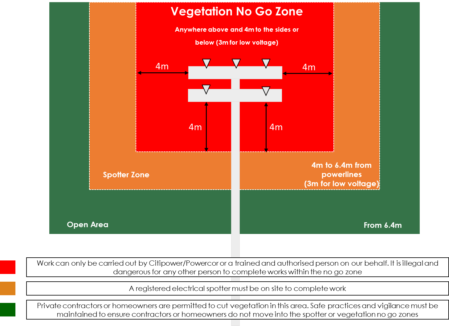
We use laser imaging LiDAR technology captured by our aerial services which scan our entire network. These images show how close a piece of vegetation is to our poles and wires, with millimetres of accuracy.
These images are then put into our vegetation management system which creates 3D models. Cutting is then prioritised based on need and geographic location. Learn more about LiDAR here.


