


Leading innovation in energy: drone use
At Powercor we are committed to innovation and safety. We continuously explore advanced technologies to enhance our operations, which is why we now leverage drone technology for remote asset surveys.
What are our assets?
Our network assets include poles, wires, and other essential infrastructure that facilitate the delivery of electricity to homes, properties, and businesses. These assets are critical to ensuring a reliable and uninterrupted power supply across our network.
What are asset inspections?
Asset inspections are a key part of our strategy to maintain network safety and reliability. Proper asset maintenance is not only crucial for ensuring consistent service but also for protecting the communities we serve. Deteriorating assets can lead to unexpected failures and safety hazards, which is why we conduct thorough field inspections to assess their condition and determine necessary actions.
Our assets are managed through a structured, cyclical maintenance program, ensuring that all 645,000+ poles across our network are regularly inspected.
Certified Asset Inspectors use a priority-based classification system to assess asset conditions. Urgent issues are addressed immediately, while non-critical defects are recorded for ongoing monitoring and follow-up inspections as needed.
What are Remote Asset Surveys (RAS)?
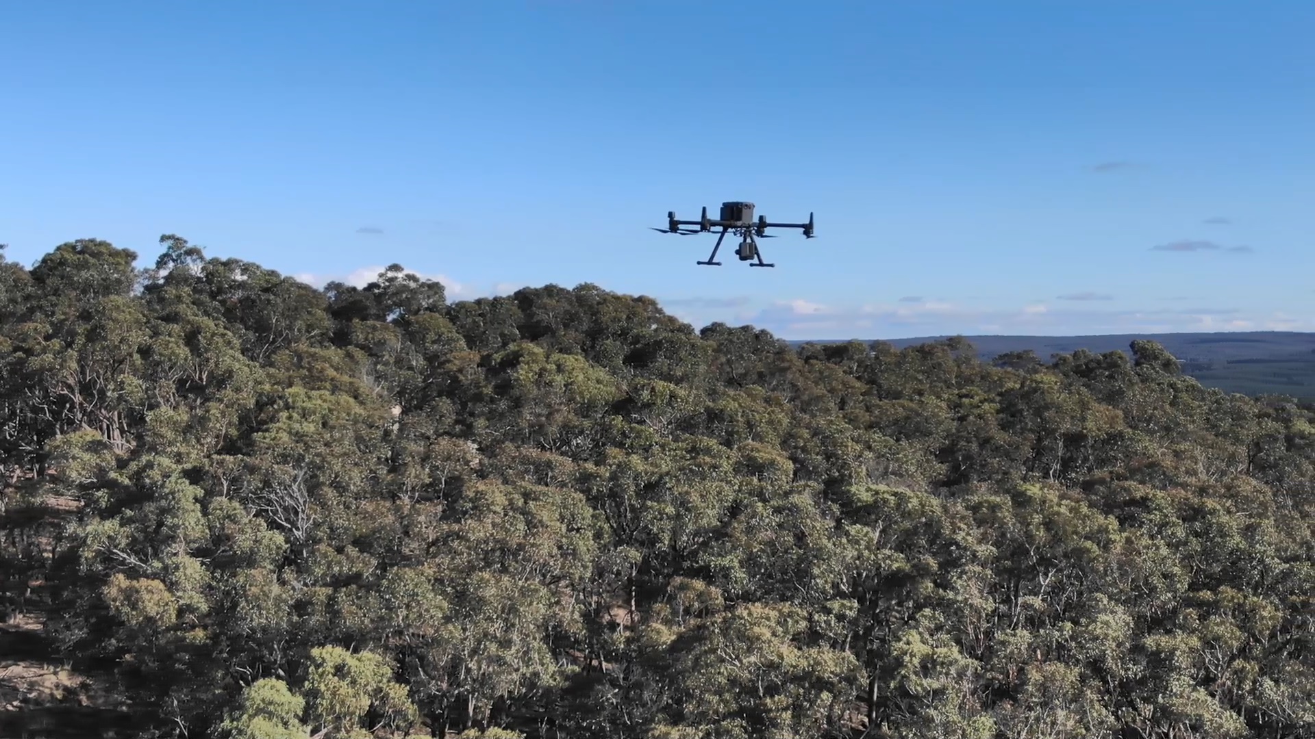
Remote Asset Surveys (RAS) utilize advanced drone technology to capture high-definition imagery, thermal data, and LiDAR scans, providing comprehensive insights into our assets and their surrounding environment.
Our Certified Drone Operators are deployed to conduct these surveys, ensuring precise data collection while adhering to strict safety protocols. Compared to traditional ground-based inspections, drones offer:
- Faster, more efficient surveys
- Enhanced safety for personnel
- Access to difficult or hazardous locations
We use drones for critical applications such as fault patrolling and pre-bushfire inspections, helping to proactively identify risks and strengthen network resilience.
Captured data is analyzed by subject matter experts who assess asset conditions, identify potential risks, and support network planning, augmentation, and engineering design. Ultimately, RAS enhances decision-making, increases efficiency, and reduces operational costs.
Why use drones?
Drone technology has advanced significantly, now featuring collision-avoidance systems, intelligent flight modes, and automated navigation capabilities. By integrating state-of-the-art drones into our operations, we can:
- Survey larger areas more efficiently
- Improve reporting accuracy
- Enhance response times to potential network risks
All drone operations are conducted by Certified Drone Operators approved by the Civil Aviation Safety Authority (CASA). Our team complies with all regulations under the Civil Aviation Act 1988 and adhere to the Civil Aviation Safety Regulations 1998.
Drone operators are strictly instructed to photograph only company assets, and where necessary, permission is sought before accessing private property.
At Powercor, safety remains our top priority. By leveraging drone technology, we ensure a safer, more efficient, and more reliable energy network for our employees, contractors, and the communities we serve.


Looking for something else in
Network innovation
Explore another page


